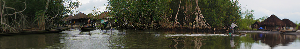
This page allows to visualise and download data relative to villages in the mangrove areas of West Africa.
Villages were first detected through satellite 50cm optical imagery for West Africa. The satellite images were processed through a machine learning algorithm to form the High Resolution Settlement Layer (HRSL). From that layer polygons capturing villages in mangrove areas were extracted and village extents calculated. Data on village population size from field visits were used to establish relationships between village area and population size. These relationships were used to predict population in villages that have no estimates from field visits. As new field visit data is obtained, the relationship will be revised and the estimates updated. For more information about the methods see the Final Project Report [coming soon].