Field Data Collection Guidebook
-
After Being Approved for Data Collection, Start Here:
-
-
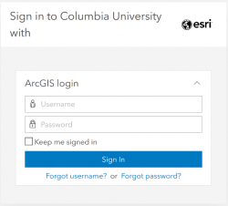
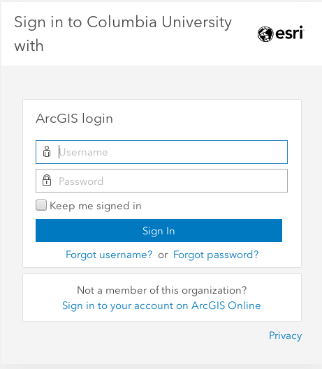
Sign in to ArcGIS
-
-
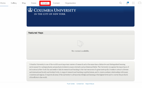
Click on "Groups"
-
-
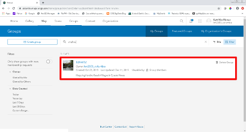
Enter the MAHRV Group
-
-
View all Group content
-
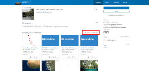
-
Filter User Applications
-
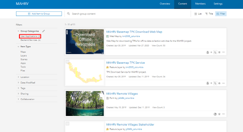
-
Further documentation
-
Pdfs can be downloaded from the AGOL page as shown, or from the links at the bottom of this web page.
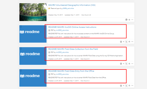
-
Collect/Enter Field Data (from the field):
-
-
Download and Install Survey123 for ArcGIS
-
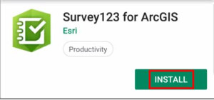 Search for “Survey123 for ArcGIS” in
-
Apple App Store
-
Google Play Store
The following operating systems are supported for the Survey123 field app:
Android 4.4 (KitKat) or later, IOS 10 or later (64 bit)
-
(1) Access and Configure Survey123 Field App:
-
 1) Click the App Icon
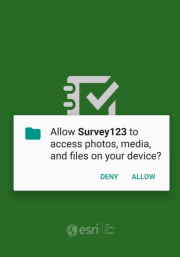
2) Allow Media Access
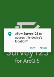
3) Allow location access
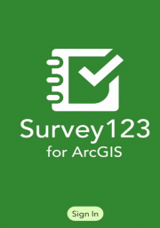
4) Sign in to ArcGIS Online
-
(2) Access and Configure Survey123 Field App
-
Choose the "Enterprise Login" option.
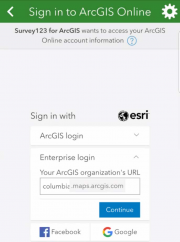
ArcGIS organization’s URL
columbia.maps.arcgis.com
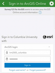
Enter your assigned AGOL User Name and Password
-
Download Data Collection Survey
-
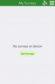
1) Get surveys
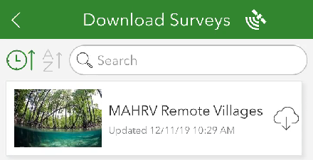
2) Download MAHRV_remote_villages
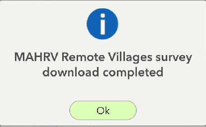
3) Access MAHRV_remote_villages survey
-
In the Survey123 Field App: Start Collecting
-
-
Access the MAHRV_remote_villages survey
-
Start Collecting
-
Collecting Village Location:
1) No Basemap: If there is no internet, then no visible basemap
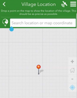
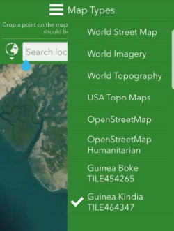
2) Select correct TPK: Luckily we have downloaded Offline Tile Packages
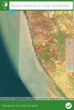
3) Collect Point of Interest: Zoom to correct location and adjust as needed. Click Check Box to Collect
-
In the Survey123 Field App: Collect Attributes
-
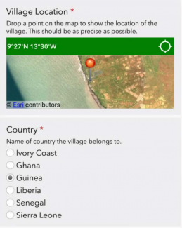
1) For verification purposes, select Country where village resides
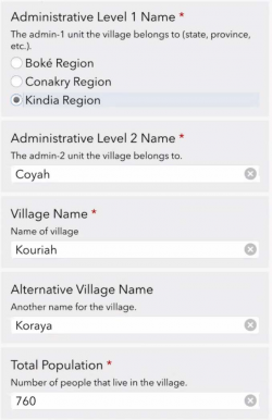
2) Enter other descriptive information about Village
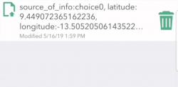
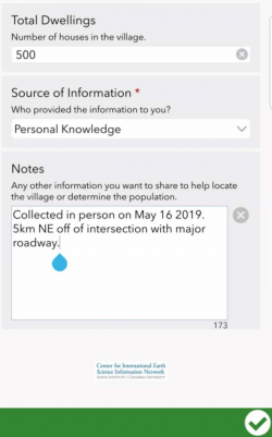
3) Add any other Notes or information and submit
-
In the Survey123 Field App: Submit Results
-
1) Choose Send Later unless you have internet access in which case choose Send
Now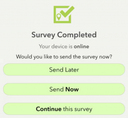
-
Enter Field Data (from the office):
-
-
Access ArcGIS Online
-
-
Navigate to https://columbia.maps.arcgis.com
-
Enter your assigned AGOL User Name and Password
-
Access the MAHRV Group
-
Access the Office VGI Data Entry Web Application

-
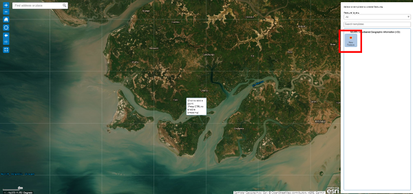
Add a new feature
-
-
Select New Feature
-
Navigate to the proper latitude and longitude and click to drop point on map
-
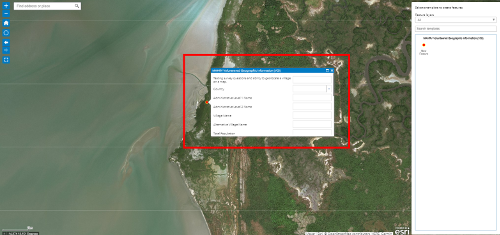
Add attributes for the New Feature
-
Fill in attribute information following the same procedure as described in the field data collection section of this document
-
[Optional] Offline Basemaps for the Field (from the office):
-
-
Preparing for Data Collection: Offline Basemaps
-
-
Tile Packages (TPKs) are compressed files for accessing imagery and other online GIS service data in an offline environment
-
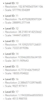
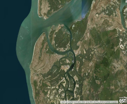
ArcGIS Imagery Basemap for scale levels 10-17 of the AGOL Tile set available in varying coverages:
-
15 Minute – 30 km 2
-
7.5 Minute – 15 km 2
-
Access ArcGIS Online
-
-
Download Tile Packages (TPKs)
-
-
Determine your area(s) of interest
-
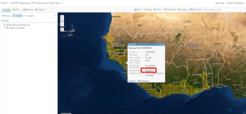
Click on the box for each area where you plan to conduct field work
-
Click "More info" under the Download URL attribute to download the TPK for that area:
-
Make Maps Visible to Survey123
-
-
Navigate to the downloaded TPK(s...one or many)
-
Connect your device to the computer that you downloaded the TPK(s) from
-
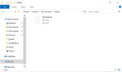
Copy the TPK(s) to This PC\Your Device Name\Phone\ArcGIS\My Surveys\Maps
These instructions are also available as pdf files to download:


 Search for “Survey123 for ArcGIS” in
 1) Click the App Icon


